


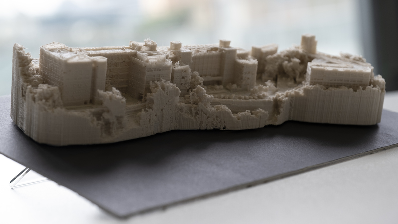
In this social innovation project, a group of LSGI students and instructors have piloted unmanned aerial vehicles to survey and produce a geographically accurate model of the campus of Ebenezer School & Home for the Visually Impaired. Ebenezer's students could now gain a fuller understanding of their home away from home in an unprecedented way - by touching & feeling a meticulously accurate small-scale 3D replica of their school site.
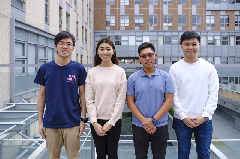
Mr. LAU King Wah Peter
Ms. CHUNG Yuen Lam Cherry
Mr. CHING Pok Hin Gabbo
Mr. CHEUK Yi Fai Samuel
Dr. Matthew PANG, LSGI (Supervisor)
Supervisor:
Professional Competence - " I am glad that I can innovate and apply new LSGI techniques to bring new experiences to the visually challenged young people. This project also helps me to see and feel the human-side of surveying techniques. " -Gabbo Ching, Year 4, Bachelor of Science in Geomatics.
Innovative Problem-solver - "I want to practice what I have learned from the lectures and, at the same time, bring something meaningful to people and society." -Cherry Chung, Year 4 Bachelor of Science in Geomatics
Teamwork - "We sincerely appreciate all resources & supports provided by the LSGI department, and especially our instructor who guided us to solve technical problems and give us professional advice in model generation. " - Samuel Cheuk, Year 4, Bachelor of Science in Geomatics
Global Outlook - "We can use this UAV survey approach to collect 3D spatial data, which are essential for smart city development in the future." - Peter Lau, Year 4, Bachelor of Science in Geomatics
The pursuit of knowledge is a lifelong journey! To further expand your knowledge and continue your personal and professional growth. Click and explore the following learning resources:
UAV (Unmanned Aerial Vehicle) Operation
Critical Thinking and Problem-solving
Project Management and Teamwork
Communication and Presentation Skills
Continuous Improvement and Learning from Mistakes