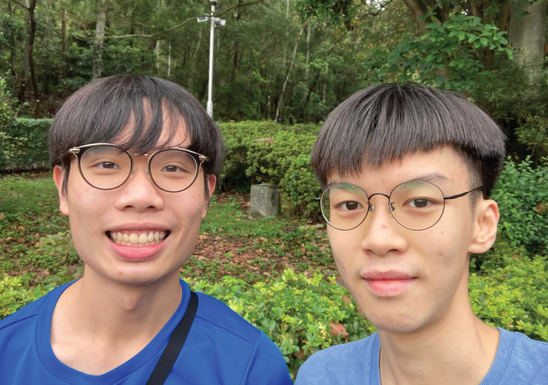
In this story, Otto Yu and Derek Lam embarks on a journey of discovery and action as they participate in the Esri Young Scholars Award competition. Faced with the task of addressing pressing social issues in Hong Kong, they choose to focus on hiking sustainability, a topic exacerbated by the pandemic's surge in outdoor activities. Armed with Esri's cutting-edge GIS technology and governmental data, they delve deep into the landscape to uncover the hidden impacts of intensive hiking on the environment.
Their efforts culminate in winning the prestigious ESRI Young Scholars Award 2023, but their journey doesn't end there. As they confront challenges such as outdated data and resolution limitations, they realize the importance of continuous monitoring and proactive regulations to restore and protect their natural surroundings. Through their perseverance and innovation, they pave the way for a greener, more sustainable future.

Mr. YU Kai Him Otto
BS(Hons) in Land Surveying and Geo-informatics
Department of Land Surveying and Geo-informatics
Mr. LAM Yik Derek
HD in Land Surveying and Geo-informatics
Department of Land Surveying and Geo-informatics
Faculty of Construction & Environment
The team gained practical experience in conducting fieldwork, such as site visits to Ap Lei Pei to study denudation across hillslopes. This involved applying land surveying techniques to gather accurate data on terrain features and changes over time.
Utilizing GIS tools like ArcGIS Pro, the team analyzed aerial images and other spatial data to evaluate the effects of hiking on landscapes. They learned to interpret geographic information and identify patterns related to land use and environmental degradation.
Through their project, the team delved into remote sensing techniques, including photogrammetry and LiDAR (laser scanning), to gather detailed information about terrain characteristics and vegetation cover. They applied these techniques to assess landscape changes and monitor environmental impacts.
Handling diverse datasets required proficiency in data management skills. The team learned to organize, manage, and back up spatial data systematically, ensuring accessibility and reliability for analysis and decision-making processes.
Expanding their knowledge of classification techniques, including texture-based, per pixel-based, and object segmentation, the team enhanced their ability to categorize and analyze spatial data effectively. This skill is crucial in land surveying for delineating land cover types and detecting changes in the landscape.
The team honed their skills in utilizing GIS (Geographical Information System) technology to address complex social issues. They learned to navigate Esri's ArcGIS Pro and apply it to various earth science research applications, such as photogrammetry, remote sensing, and forestry.
The team encountered challenges such as outdated data and resolution limitations. Through problem-solving and critical thinking, they devised customized segmentation methods to overcome these obstacles and ensure the accuracy of their analysis.
By adopting innovative presentation methods like Storymap, the team improved their communication skills. They learned to effectively convey their findings and recommendations to a wider audience, enhancing their ability to disseminate valuable information.
Handling a wide range of datasets required the team to develop proficient data management skills. They learned to systematically organize data, ensuring accessibility and regular backups, thereby improving overall efficiency in data handling.
The pursuit of knowledge is a lifelong journey! To further expand your knowledge and continue your personal and professional growth. Click and explore the following learning resources:
Data Analysis and Interpretation
Critical Thinking and Problem-solving